Photo credit: New Zealand Transport Agency
Principles
The principles of the toolkit are based on the following principles:
- Maintain safety of all people
- Provide more space for people to walk, ride a bicycle, and other micromobility devices
- Ensure people have safe, healthy and sustainable options for individual mobility
- Consider immediate situation and the emerging mobility trends when travel restrictions are relaxed to access essential services, recreational spaces, work places, centres,
- Clear messaging of policies and procedures
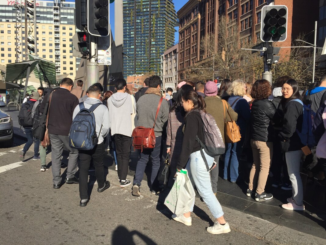
1. Reduce delays to people walking and riding a bicycle
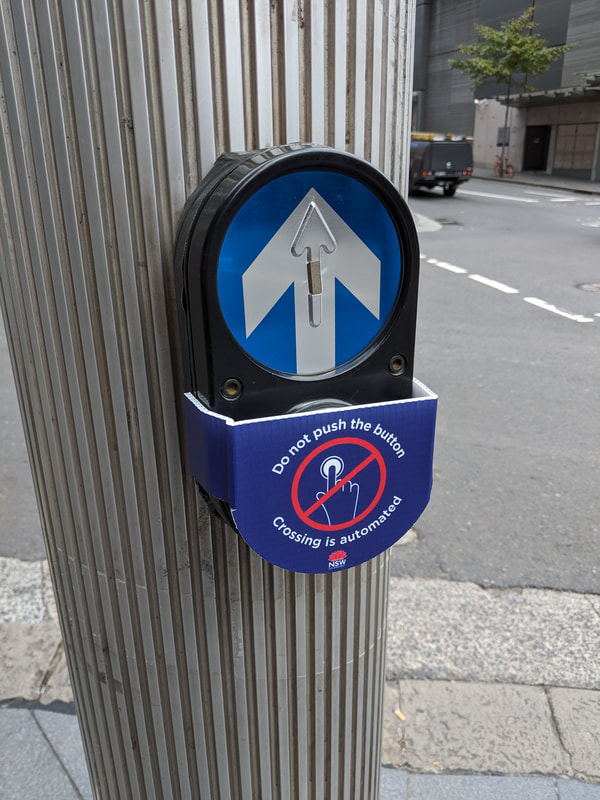
People walking (and sometimes people riding a bicycle) are required to press buttons at signalised intersections to trigger the green light to cross. Minimise the need to touch objects in public. Reduce crowding by minimising the need for people walking and riding a bicycle to wait.
- Automate the pedestrian green light at signaled intersections
- Increase frequency of signal phases to allow more opportunities to cross
- Increase time for people to cross, especially the less mobile people.
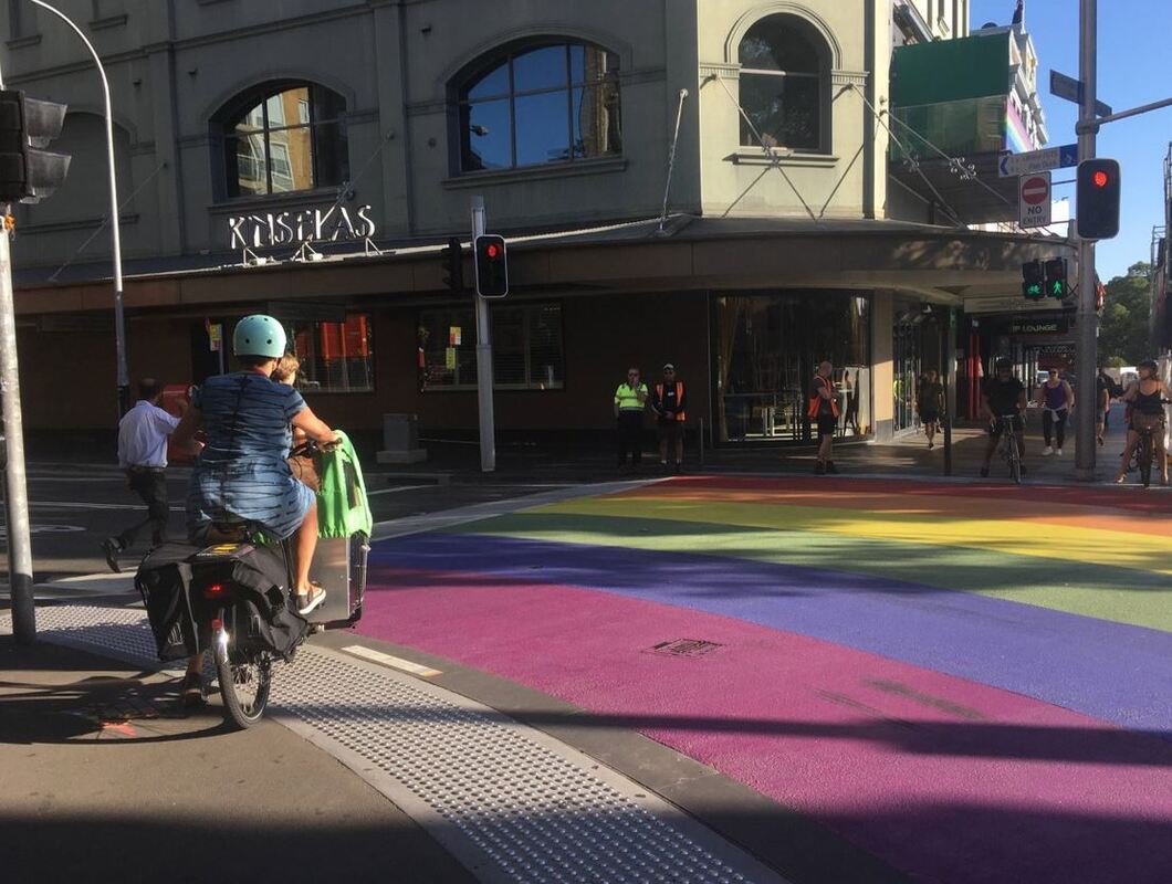
- Give pedestrians priority at signals (ie. reverse the signal times so the default is green for pedestrians and vehicles trigger the green light when onto of the detection loops. Example on Bourke Street, Surry Hills NSW
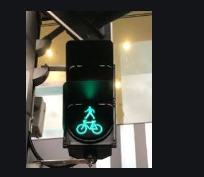
- Combined Bicycle and Pedestrian lantern (Transport for NSW guidance)
- Scramble crossing
2. Expand footpaths
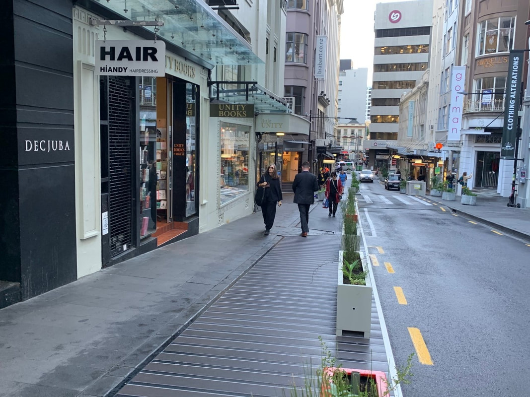
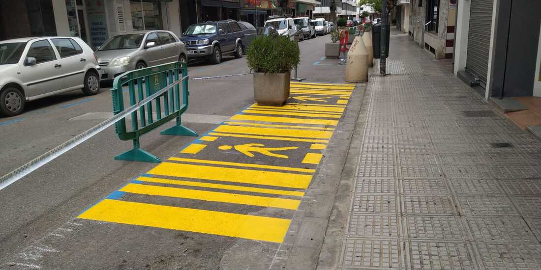
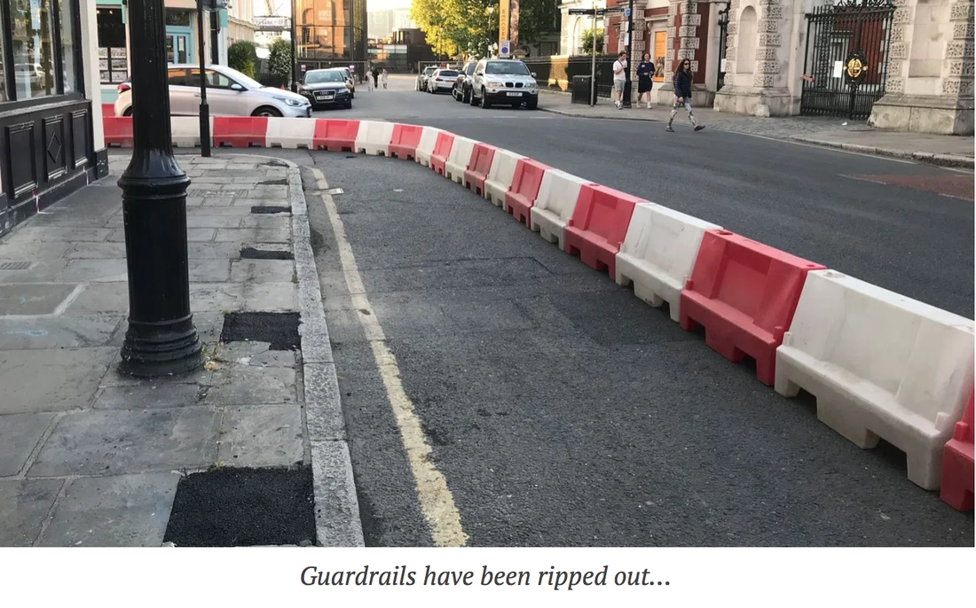

Photo Credit. 1 & 2 - Source: BIKEast 3 - New Zealand. Source: NZHerald 4 - Ibiza - @elelopez77 5 - Greenwich - @853 6 Auckland - @kentslundberg
3. Provide cycleways
Reallocate traffic lanes, parking lanes for a separated cycleway (separated from other vehicles as much as possible).
Technical design guides (in English) for temporary cycleways from Germany.
NZ guidelines link
Considerations:
Technical design guides (in English) for temporary cycleways from Germany.
NZ guidelines link
Considerations:
- Bus stops (temporary)
- Intersections (jump start, bike box for visbility)
- Removal of slip lanes (left turns)
- Permeability
- Other kerbside users
- Access points to buildings

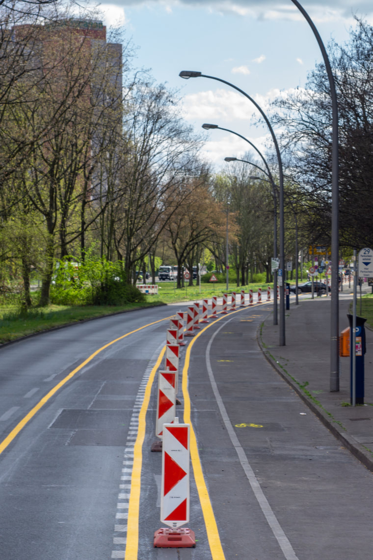
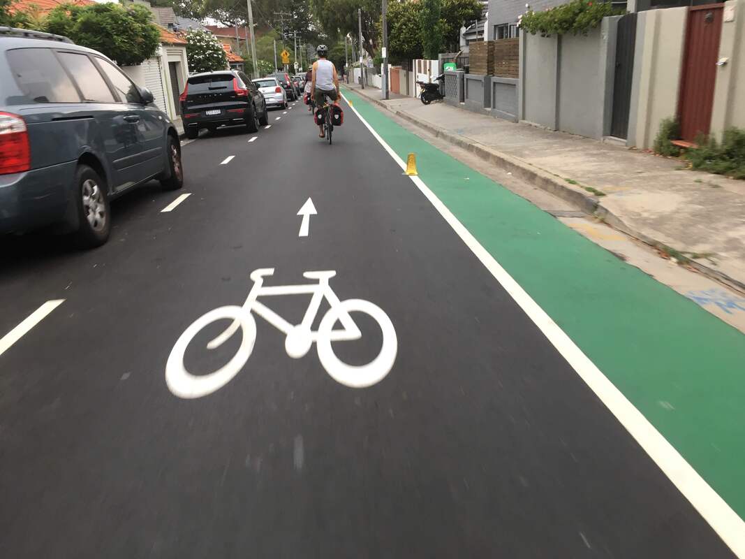
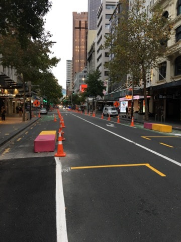
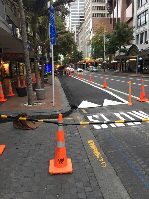

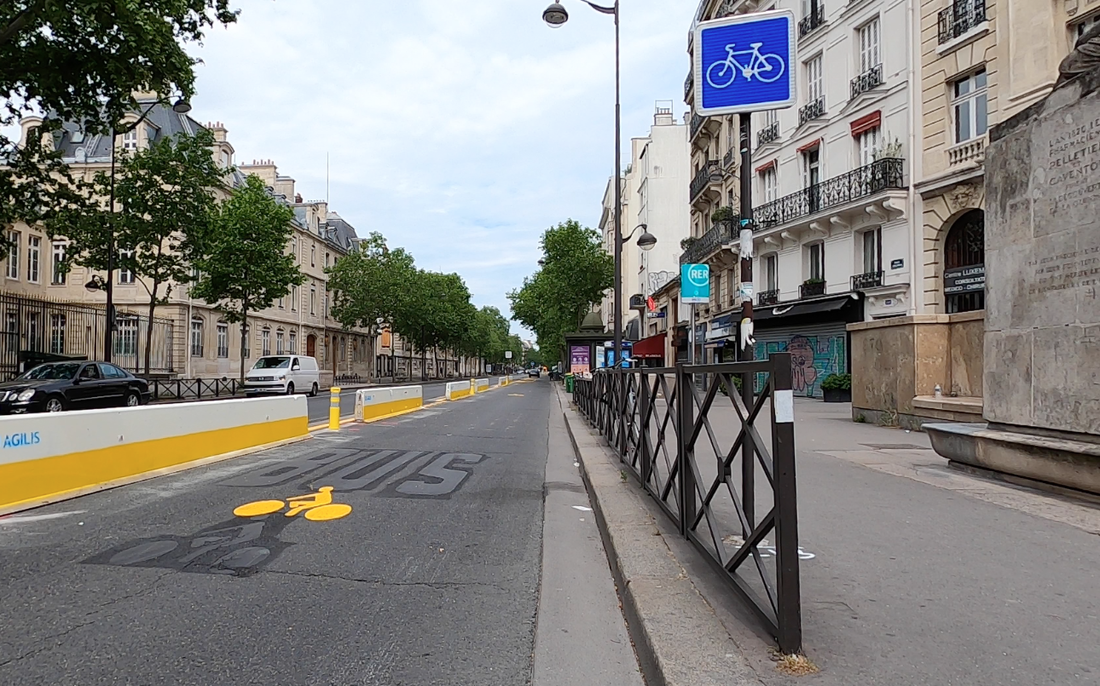
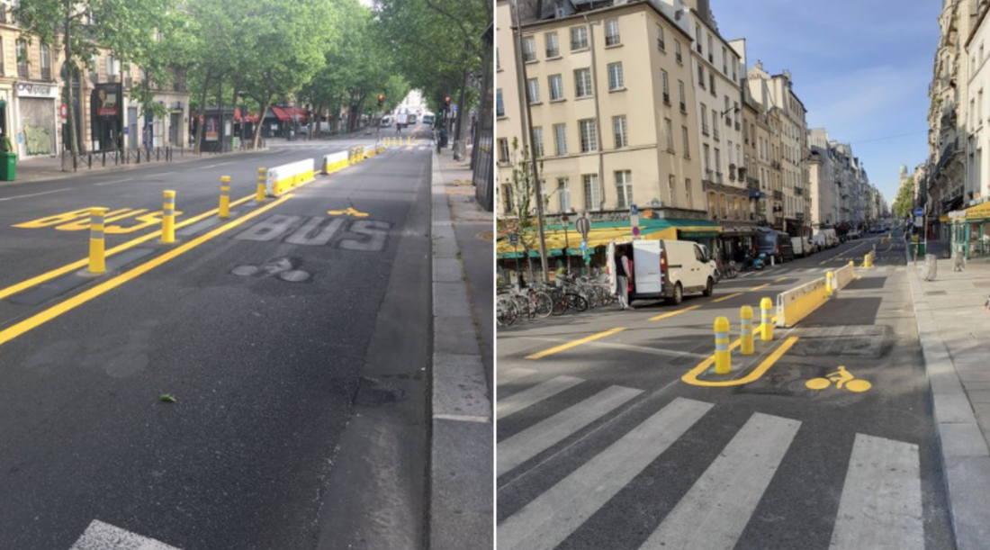

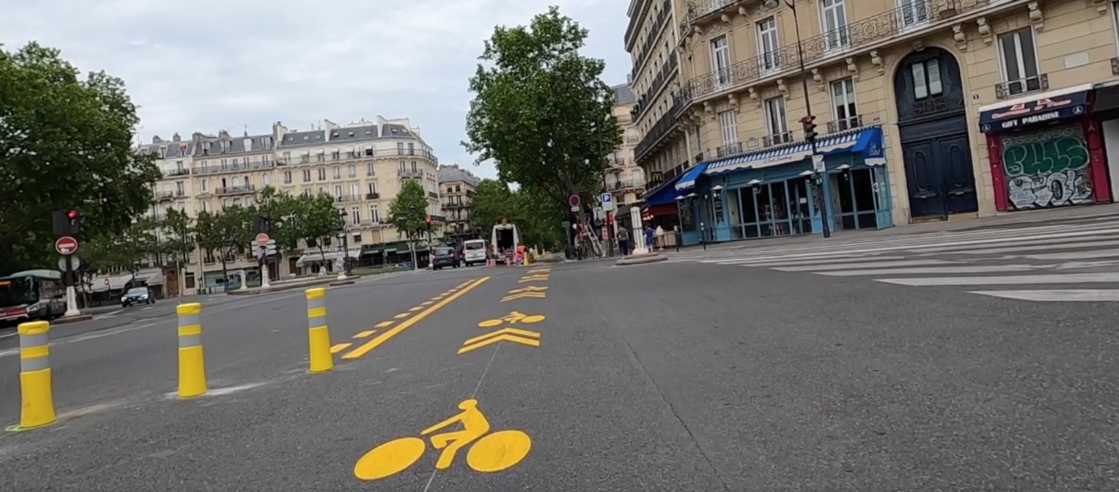
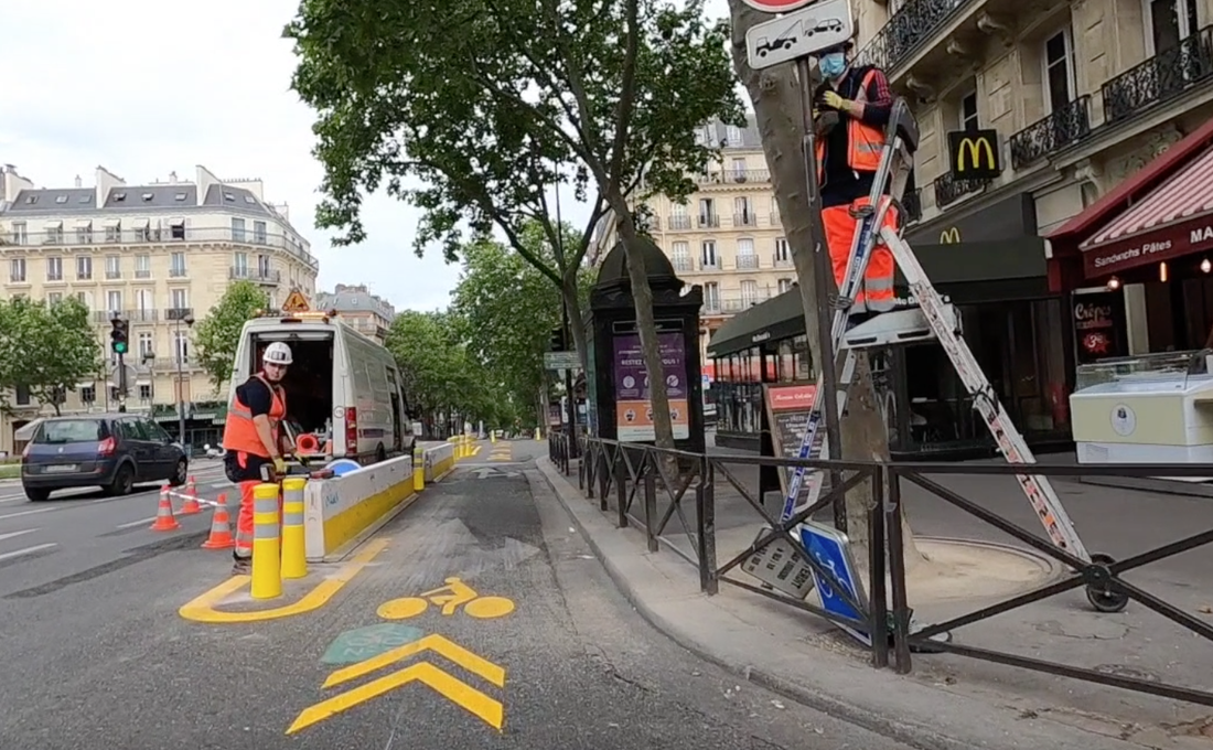
Photo Credit. Berlin Temporary cycleways. Source: @Peter Broytman Sydney, Australia. Source: BIKEast 5 - Centennial Park, Australia. Source: BIKEast, Brampton, USA. Source: @Sean_YYZ , New Zealand Source: BIKEast Popup cycleway in France. Photo source: Ridef2
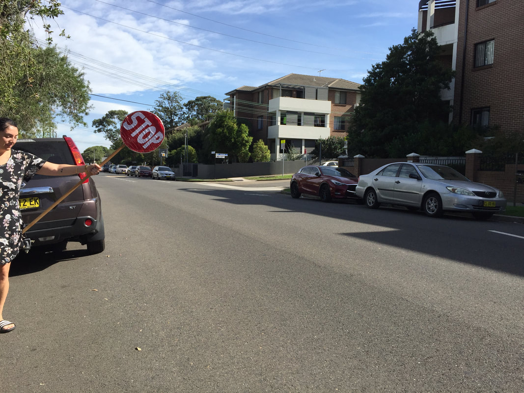
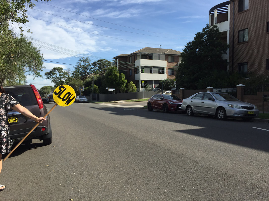
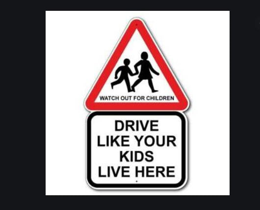
4. Reduce speed limits
The risk of pedestrian death rises exponentially when vehicles speeds are beyond 30 km/h. It is estimated that less than 10% of pedestrians would die when struck by a vehicle travelling at 30 km/h, compared with fatality rates of 26% at 40 km/h and over 80% at 50 km/h.
Source: http://www.victoriawalks.org.au/safe_speed/
TfNSW - 40 km/h zones are keeping us safe
Conversation article "Busted: 5 myths about 30km/h speed limits in Australia" - link
Also refer to the Thanks for 30 campaign - link
Source: http://www.victoriawalks.org.au/safe_speed/
TfNSW - 40 km/h zones are keeping us safe
Conversation article "Busted: 5 myths about 30km/h speed limits in Australia" - link
Also refer to the Thanks for 30 campaign - link

|

|
5. Car free roads and parks


6. Reduce the crossing distance for people
Extend the kerb and build it out. Remove Slip lanes.
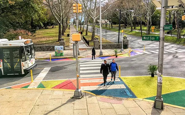


Photo Credit. 1 - Source: Street Plans. 2 - Source: GlobalDesigningCities.org 3 - Source: Southern Nevada Strong
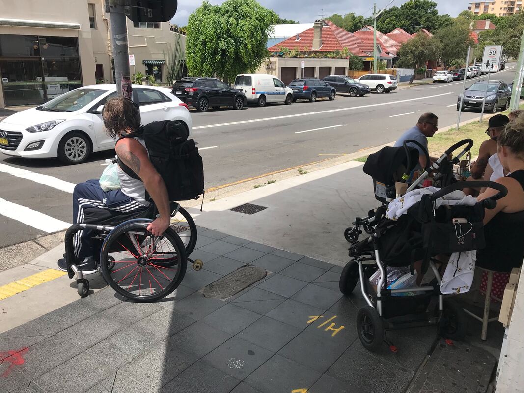
7. Accessibility for people
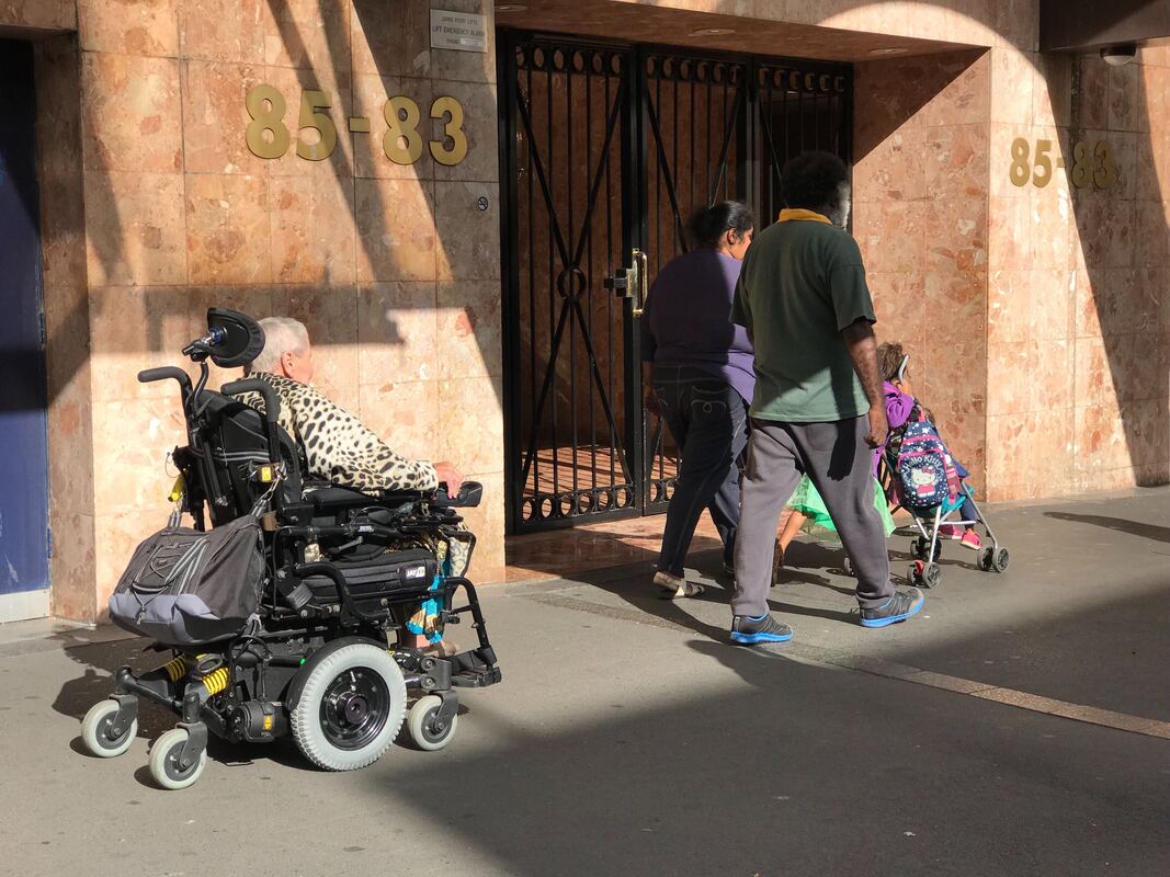
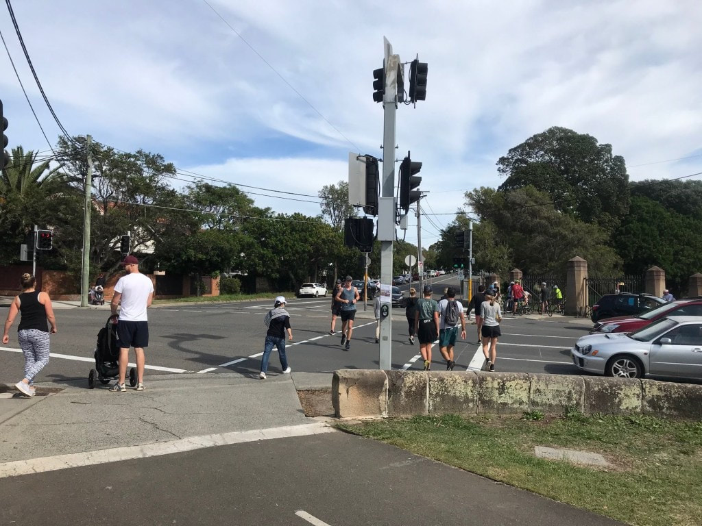

Photo Credit. BIKEast
8. No through traffic
Quiet, slow, healthy streets for locals. Road closed to through traffic is permeable by people walking and riding a bicycle, walking a dog. Road is open to locals.
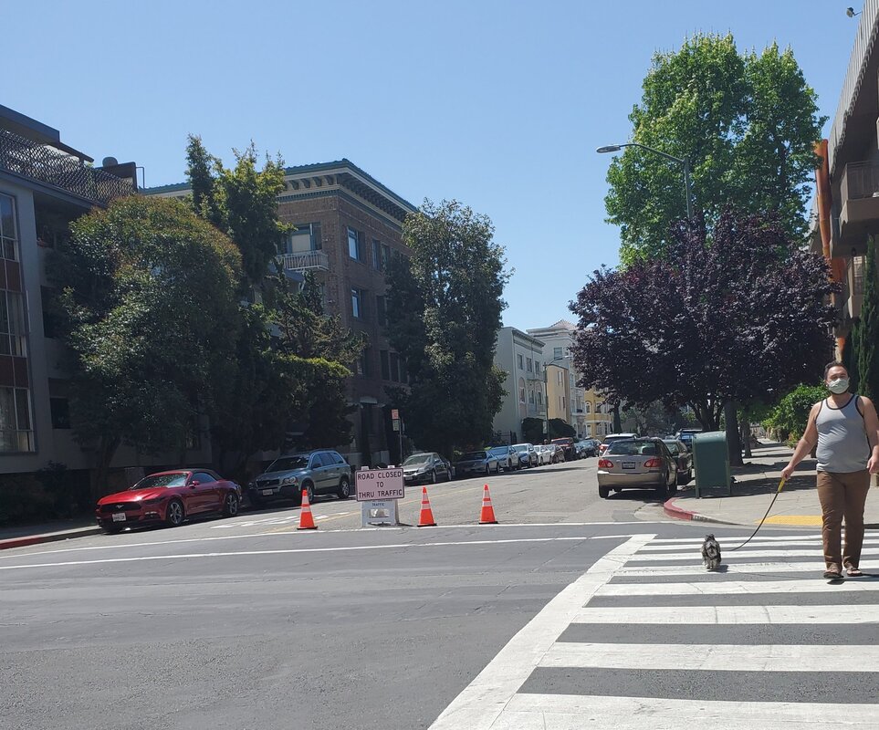

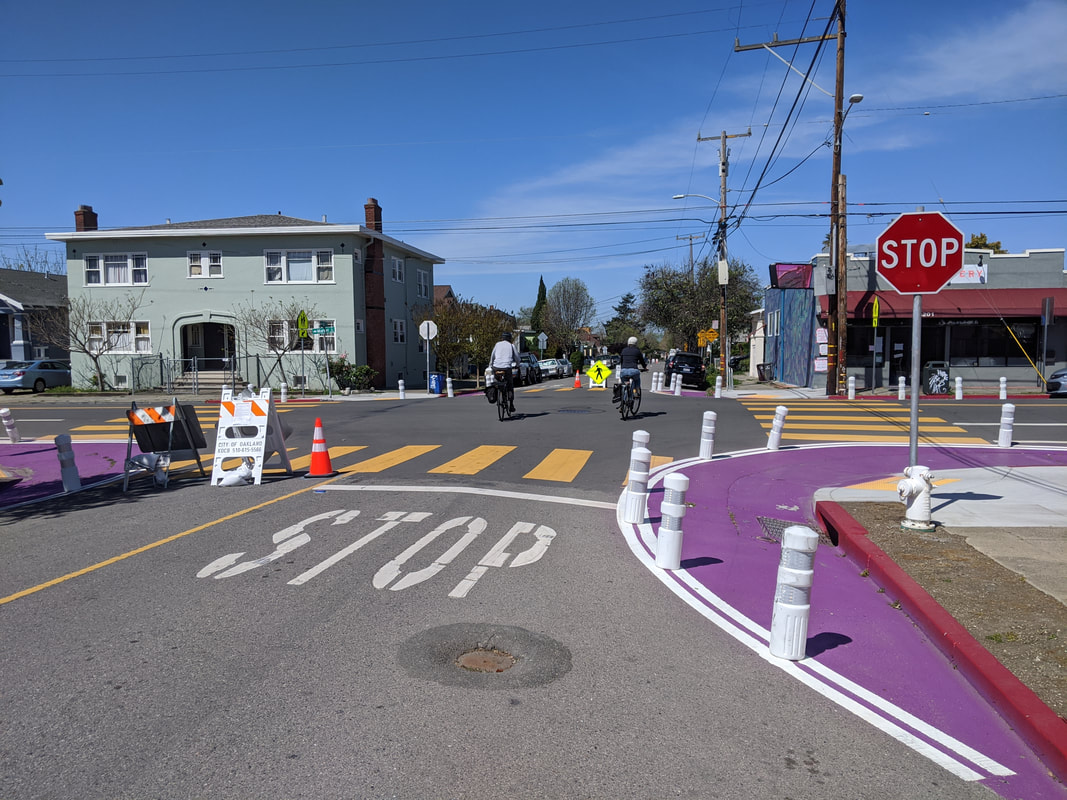
Photo Credit. Oakland Slow Streets. 1 - Source: @GoCurrey 2 - Source: @BikeEastBay 3 - Source: @WalkOakBikeOak
International guides
Berlin guide - How to build a popup cycleway in 10 days
German Technical specifications temporary bike lane - Berlin in English
NZ Innovate streets guides: link
New Zealand Transit Authority releases its guidance for COVID streets, click here.
London cycle design guidelines Junctions - link
NYC Department of Transport - Free signage for cars are guests colour version and BW version. These are good for any tactical urbanism actions!
Looking for an image? Pedbikeimages.org has an open source photo collection of pedestrian and bicycle scenes, mostly from overseas.
StreetMix - Tool to design YOUR street.
NACTO toolkit - link
NACTO - case studies of before and after tactical projects
Tactical Urbanism guide - link
